New · A short film
Sowing the Spare
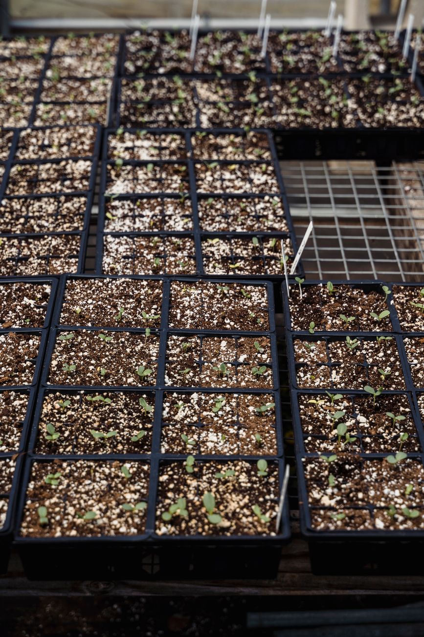
The season we hoped never to see, and the quiet Tuesday on which we got ready for it. Four scenes: the seed tin, the frost date, the alternate lane, and the dawn after — how a garden and a plant weather the bad year the same way.
Watch the film →Redundancy is not waste
Reading NASA's late-2028 deep-space reactor decision the way a plant-floor manager reads a forecast: the spare seed, the alternate lane, and the uranium core are the same ledger — the second column that holds the first honest. When I read that NASA had set a date, I thought: good — somebody upstream knows that at Mars, hope is not a power source.
The margin is the point
We plant to the latest frost date we can remember, then add a week earned the hard way. On the floor, the equivalent is a month of safety stock over the leanest estimate. Nobody claps for the margin — until the margin is the only thing holding the year up.
Alternates are printed, walked, tested — in October
Panic is not a plan. An alternate lane is a printed procedure, a walked route, a stamped test done while the primary still holds. Contingency is not worry turned loose. It is worry told exactly where to stand.
- TraceLink MINT Transaction Volume in 2026 Surpasses Full-Year 2025 Volume by 183% as Customers Expand Digital Supply Chain Collaboration manilatimes.net
- Nvidia H200 Chips Enter China at 13% of Quota; Beijing, Not Washington, Controls Rest techtimes.com
- Rock Tech Lithium Aktie: Mengen steigen auf 100.000 Tonnen stock-world.de